Day 227
Ft Collins Epic Loop
Time: 2:37:00
Distance: 25 mi
Avg Speed: Single
Terrain: Everything from pavement to singletrack
Location: Circumnavigation of Horsetooth Reservoir
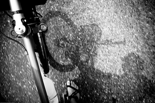
We’re back in Ft Collins again. We make excellent house sitters since we are currently unemployed. Our good friends have gone on vacation and we have taken over their house. We set up camp; laptop, books, and maps in the house, and bicycles in the garage. This time around we brought only singlespeeds. We looking to increase the difficulty of our training and these bikes are the simplest way to do it. One speed with varied topography and long distances equals hard earned fitness.
Our goal for the day was to circumnavigate Horsetooth Reservoir. By definition (in a free on-line dictionary) circumnavigation entails “to proceed completely around”*. We did just that by a riding 25 miles of paved and dirt roads with some singletrack mixed in. It wasn’t the first time we’ve completed the loop, it’s just the first time we’ve ridden with just one speed. Our gear ratio of 32x16 lent itself well to the ups and downs and the bends in between. A geared bike would have made things easier, but today was all about training.
Besides pedaling, we have spent a fair amount of time in the last few weeks on route planning. One of our mistakes last year was not having detailed information regarding the route at our disposal. As logistics planner, I relied more on time and a general region than on distance and topography. Starting on the North Island of New Zealand helped me realize the error of my ways. As we prepare to tour Colorado and then China, I have been consulting as many maps as possible. Not only am I looking for a sense of place, but distance and elevations as well. We have come to realize that a day of climbs is a day of shorter distance and visa versa. In addition to the procurement of maps, I have been working in my GIS program to create elevation profiles. These are neat little graphs that show the hills and valleys of a linear route. The X axis is the distance and the Y axis is the elevation. For bicycle touring it can be an indispensable piece of information.
There is more training to come in the next few days. The long climbs and exciting descents of the Rockies await – at least we know what we’re getting into this time.
Here’s to rise over run,
LK
*Wikipedia defines circumnavigation in traveling around the world by boat or ship. For more details on that see this link.
Ft Collins Epic Loop
Time: 2:37:00
Distance: 25 mi
Avg Speed: Single
Terrain: Everything from pavement to singletrack
Location: Circumnavigation of Horsetooth Reservoir
We’re back in Ft Collins again. We make excellent house sitters since we are currently unemployed. Our good friends have gone on vacation and we have taken over their house. We set up camp; laptop, books, and maps in the house, and bicycles in the garage. This time around we brought only singlespeeds. We looking to increase the difficulty of our training and these bikes are the simplest way to do it. One speed with varied topography and long distances equals hard earned fitness.

Our goal for the day was to circumnavigate Horsetooth Reservoir. By definition (in a free on-line dictionary) circumnavigation entails “to proceed completely around”*. We did just that by a riding 25 miles of paved and dirt roads with some singletrack mixed in. It wasn’t the first time we’ve completed the loop, it’s just the first time we’ve ridden with just one speed. Our gear ratio of 32x16 lent itself well to the ups and downs and the bends in between. A geared bike would have made things easier, but today was all about training.
Besides pedaling, we have spent a fair amount of time in the last few weeks on route planning. One of our mistakes last year was not having detailed information regarding the route at our disposal. As logistics planner, I relied more on time and a general region than on distance and topography. Starting on the North Island of New Zealand helped me realize the error of my ways. As we prepare to tour Colorado and then China, I have been consulting as many maps as possible. Not only am I looking for a sense of place, but distance and elevations as well. We have come to realize that a day of climbs is a day of shorter distance and visa versa. In addition to the procurement of maps, I have been working in my GIS program to create elevation profiles.
 These are neat little graphs that show the hills and valleys of a linear route. The X axis is the distance and the Y axis is the elevation. For bicycle touring it can be an indispensable piece of information.
There is more training to come in the next few days. The long climbs and exciting descents of the Rockies await – at least we know what we’re getting into this time.
Here’s to rise over run,
LK
*Wikipedia defines circumnavigation in traveling around the world by boat or ship. For more details on that see this link.

No comments:
Post a Comment