
11.03.07
Greymouth to Franz Josef
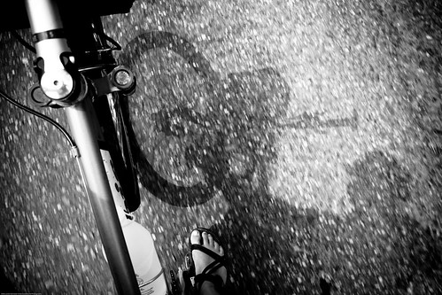
We had an “everything the landscape can throw at you” type of drive today. We started off on the ocean, on to river valleys, past mountain lakes and over mountain passes. All of that in the matter of 3 hours. Leslie and I have been taking turns riding in the morning and jumping on the RV/Tour Bus when it passes. I rode yesterday through flat vineyards. Leslie headed out this morning along SH 6 from Greymouth. We usually give each other about an hour and a half head start and then catch up around the two hour mark. Leslie had some nice flat roads, but some of the scariest bridge crossings yet. The about half the bridges here are one lane bridges. There are signs on either side saying which way has the right of way. Usually they are only five to ten meters across, but occasionally there are some that are a hundred meters across or more. The really long ones have a tiny passing lane on them to get out of the way if you are a slow cyclist holding up traffic. Leslie’s first bridge crossing this morning was a new one entirely. It was a one lane bridge that had a set of railroad tracks running right down the middle. That’s right; we had to share the bridge with a train. I bet you can’t guess who had the right of way? Today we were safe since no trains were in sight. Leslie made her way across them fine (that is right, there ended up being two total) and we met her in the next town of Hokitika. The best part is the sign on the second bridge of a cyclist flying over their handlebars. As if we didn’t have enough to worry about.
We eventually rolled into the town of Franz Josef and got a place to camp for the night. The town is the gateway to the awesome Franz Josef Glacier. You can take a quick 45 minute hike up through the forest and onto the moraine and up to the snout of the glacier. They actually have it roped off about 250 meters away to keep people away from calving ice. The glacier is on the north side of the Southern Alps and, being in the southern hemisphere, gets a lot of sun. The glacier is in a state of growth right now, albeit slowly (about 40 cm/year). They attribute it to record snows in the 1980’s that are now reaching the bottom of the glacier. The glacier is in an overall state of decline. There is a sign about 3-4 kilometers below the glacier noting the glacial snout’s position in 1750.
See you next time.
CJ5
Greymouth to Franz Josef
We had an “everything the landscape can throw at you” type of drive today. We started off on the ocean, on to river valleys, past mountain lakes and over mountain passes. All of that in the matter of 3 hours. Leslie and I have been taking turns riding in the morning and jumping on the RV/Tour Bus when it passes. I rode yesterday through flat vineyards. Leslie headed out this morning along SH 6 from Greymouth. We usually give each other about an hour and a half head start and then catch up around the two hour mark. Leslie had some nice flat roads, but some of the scariest bridge crossings yet. The about half the bridges here are one lane bridges. There are signs on either side saying which way has the right of way. Usually they are only five to ten meters across, but occasionally there are some that are a hundred meters across or more. The really long ones have a tiny passing lane on them to get out of the way if you are a slow cyclist holding up traffic. Leslie’s first bridge crossing this morning was a new one entirely. It was a one lane bridge that had a set of railroad tracks running right down the middle. That’s right; we had to share the bridge with a train. I bet you can’t guess who had the right of way? Today we were safe since no trains were in sight. Leslie made her way across them fine (that is right, there ended up being two total) and we met her in the next town of Hokitika. The best part is the sign on the second bridge of a cyclist flying over their handlebars. As if we didn’t have enough to worry about.
We eventually rolled into the town of Franz Josef and got a place to camp for the night. The town is the gateway to the awesome Franz Josef Glacier. You can take a quick 45 minute hike up through the forest and onto the moraine and up to the snout of the glacier. They actually have it roped off about 250 meters away to keep people away from calving ice. The glacier is on the north side of the Southern Alps and, being in the southern hemisphere, gets a lot of sun. The glacier is in a state of growth right now, albeit slowly (about 40 cm/year). They attribute it to record snows in the 1980’s that are now reaching the bottom of the glacier. The glacier is in an overall state of decline. There is a sign about 3-4 kilometers below the glacier noting the glacial snout’s position in 1750.
See you next time.
CJ5

2 comments:
Hey...the kids couldn't fathom a glacier below the equator!! Watch out for wayward trains and taking the wrong fork in the road!!
I was freaking out for you as I read the bridge description! ARGH! Sounds amazing! My travel bug is biting again...
I look up your travels on Google maps where you can turn on satellite imagery & the roads. You can see all the glaciers on the photos!
We are going to Fairmont, BC for Thanksgiving/Christmas with Sean's family! -JH
Post a Comment